
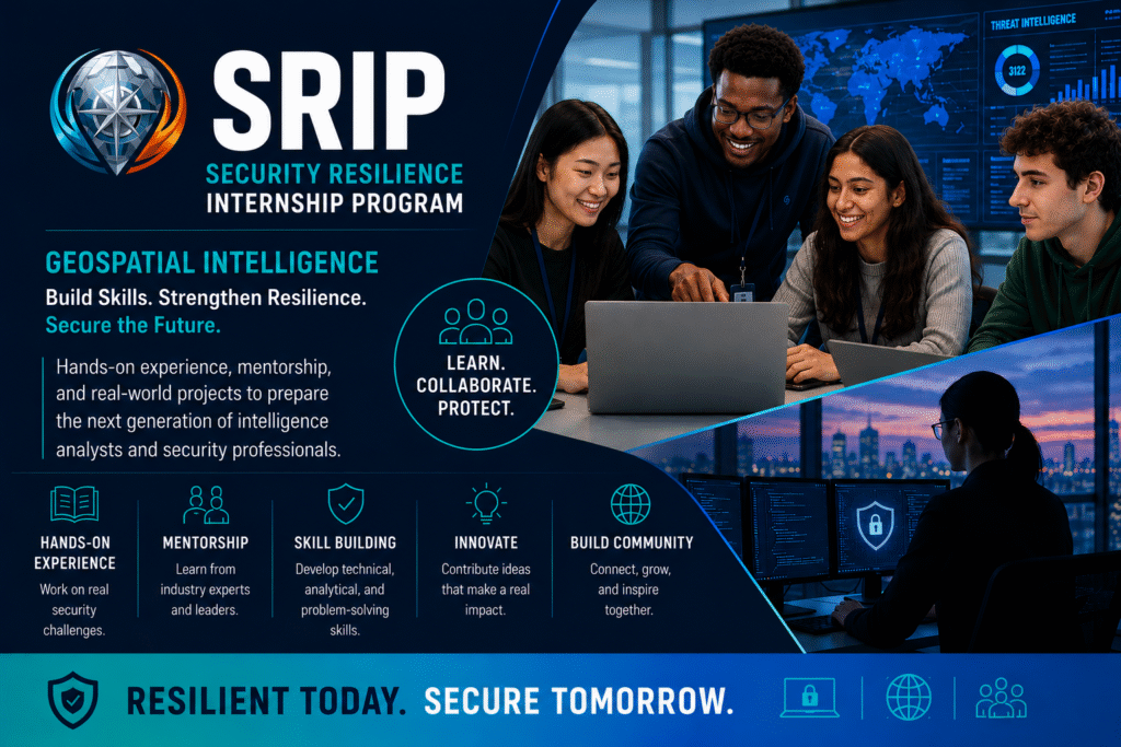
The Geospatial (GEOINT-ISAC) Security Resilience Internship Program
Hands-on Experience Translating Geospatial and Risk Analysis Research into Actionable Products for Immediate Use By Critical Infrastructure and Emergency Management Stakeholders.
Interns Work Across Public-Private Sector Entities, Multiple Levels Of Government, and International Partners, Gaining Practical Exposure to How Risk Intelligence is Developed, Communicated, and Applied In Real Decision Environments.
The GEOINT-ISAC SRIP Internship Program – Designed as a Portfolio-Building Learning Experience, Helping Students Strengthen Research, Analysis, Product Development Skills While Producing Work that Demonstrating Readiness for Resilience, Geospatial, and Emergency Management Careers.
Potential Tasks The Intern May Complete:
-
- Research Extreme Weather, Infrastructure, Supply Chain Risk Topics Using Open-Source, Geospatial, Policy Data
- Support Development of Short-Form Actionable Products (Factsheets, Situation Summaries, Briefing Notes, Map-Based Risk Visuals
- Track Emerging Risks Affecting Critical Infrastructure, Emergency Management Stakeholders Across Local, State, Federal, International Contexts
- Assist With Translating Technical Analysis into Clear, Decision-ready Content for Public-Private Sector Audiences
- Contribute to Geospatial Storytelling Products, Including Simple Maps, Overlays, Dashboards, Presentation Graphics
- Help Compare Policies, Response Frameworks, Resilience Practices Across Different Levels of Government and International Entities.
- Participate in Research Sprints Focused on Turning Hazard, Infrastructure, and Supply Chain Signals into Practical Recommendations.
- Support Preparation for Stakeholder Meetings, Workshops, and Collaboration Calls by Drafting Notes, Summaries, and Follow-up Materials.
- Organize Source Material, References, and Analytical Outputs to Support Repeatable Workflows and Portfolio-quality Deliverables.
- Build A Professional Portfolio Of Research, Analysis, And Communication Products That Demonstrate Applied Skills In Geospatial Intelligence, Resilience, And Emergency Management.